Tongva Land Dissected
(site-specific installation for the 2019 SUR Biennial, at Rio Hondo College)
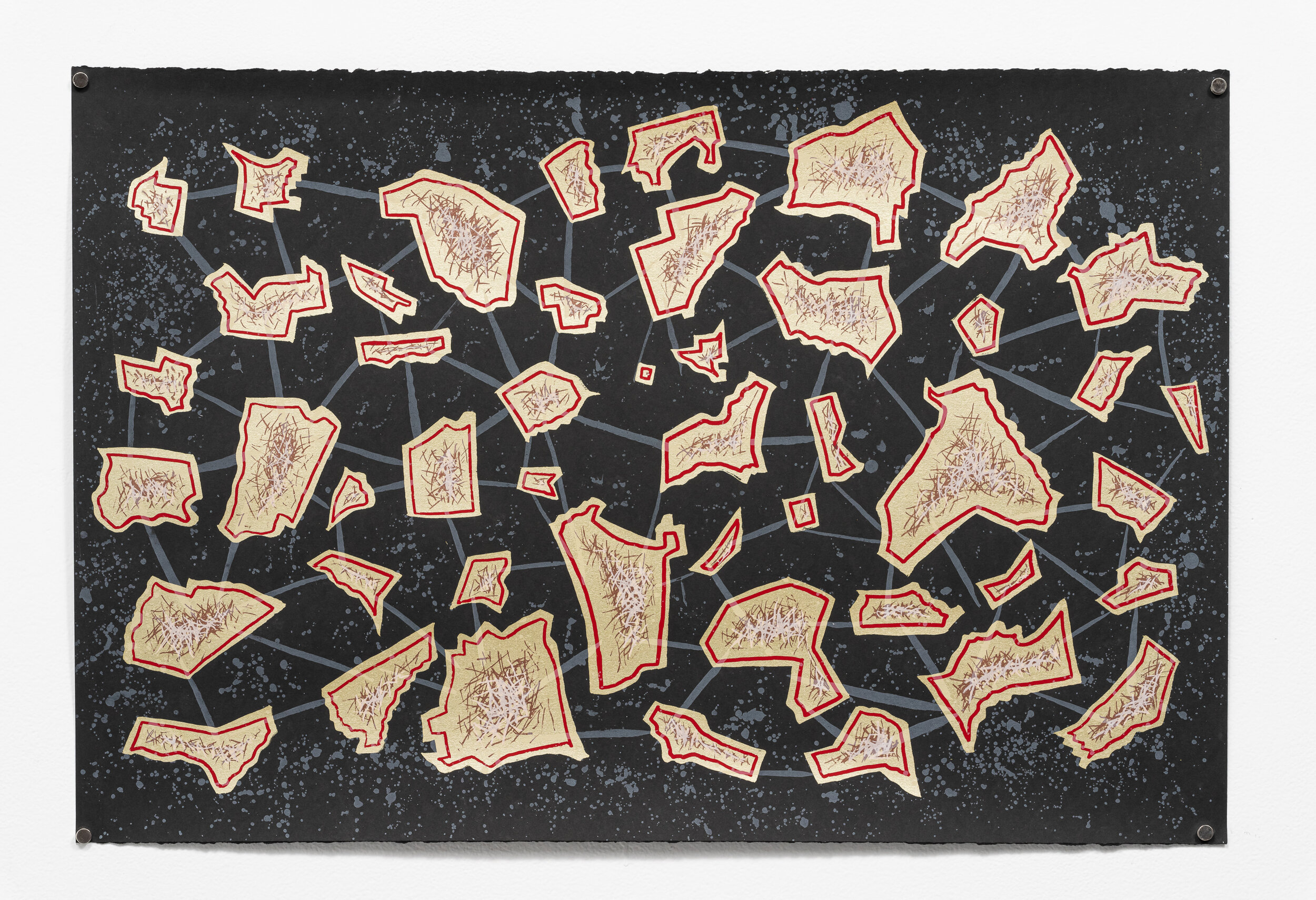
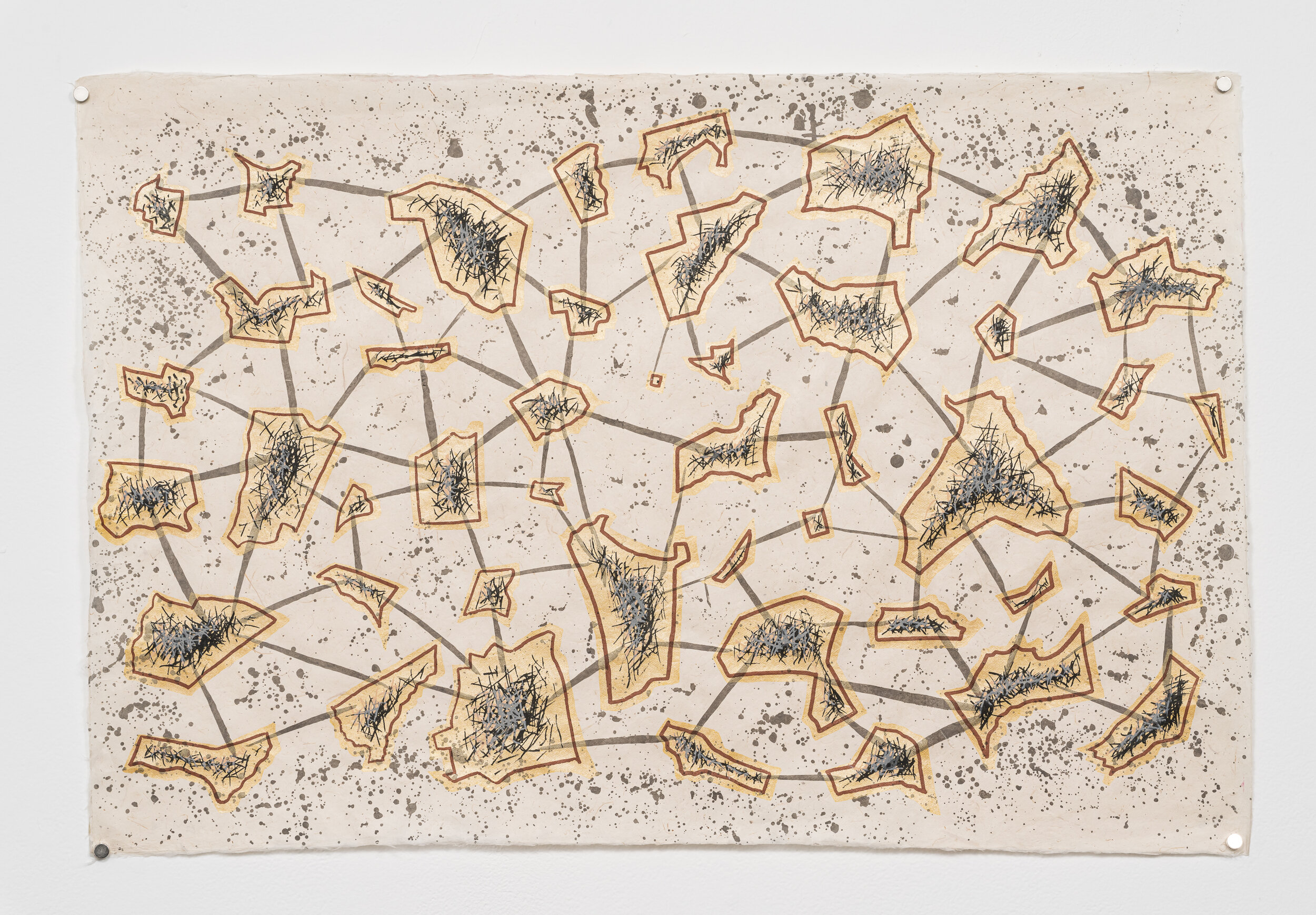
Rancho los Nietos was one of the largest land-holdings in colonial Los Angeles, stretching from what we now call Whittier and Downey, to Santa Ana, Compton, and Long Beach. Though it was eventually subdivided by heirs into several smaller ranchos (like Los Cerritos, Los Alamitos, Santa Gertrudes, and Los Coyotes) this vast space was mapped in 1834 for Abel Stearns, an East Coast land baron and cattle rancher who became a naturalized Mexican citizen prior to US annexation of the Southwest.
A drawing of this pen and ink map has been reproduced on this wall (center), along with the abstract geographical shapes of the ranchos into which Los Nietos would later be split (right and left of map). This site-specific installation, in conjunction with the works on paper, serve as an effort to highlight the centrality of displacement and containment in the economic development of the Los Angeles Basin, and underscore the ways in which current issues around gentrification and homelessness are, in part, rooted in the colonial encounter. It was at this moment that land became privatized and traded as a commodity, something foreign to indigenous populations who saw themselves as stewards of the land in a reciprocal relationship. From the original Tongva, Acjachemen, and Luiseño people, whose land was first taken in the forming of these ranchos, to recent concerns about gentrification in working-poor communities, displacement is, and has been, a central factor in the growth and development of the greater Los Angeles area.